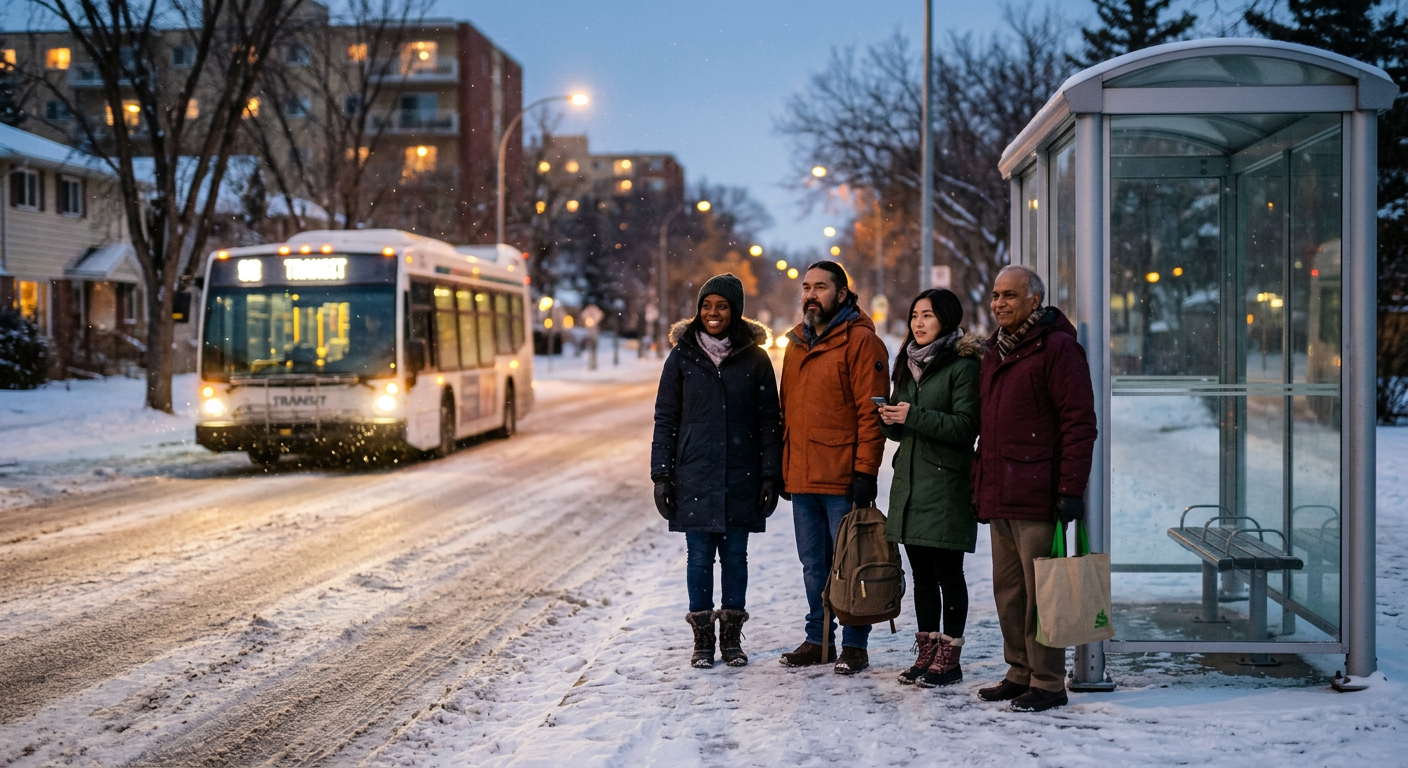
Built for Winnipeg winters
Draw the transit Winnipeg actually needs.
In winter a missing stop or a long wait is more than an inconvenience. The people who feel it rarely have an easy way to say where. Now they do.
Use it on any trip, not only to complain
The map is useful every day, whether you ride the same bus every morning or only once a week.
Before you leave
Search your stop or street. See what people reported close to it: a missing shelter, an unplowed approach, a broken bench, a stop that is hard to find in the dark.
While you wait
Cold, late, or the stop is blocked by snow? Add it in under 30 seconds. If someone already reported it, tap Support instead and it counts as one more voice.
After a rough trip
Missed connection, route that takes forty minutes for ten kilometres, a place with no bus at all. Request a stop or draw the route you wish existed from home to work.
Every week
Open the map for your neighbourhood and support what you share. Brighter areas on the demand map show planners where the most different people are asking for change.
Newcomers and visitors
Available in 11 languages and works on any phone. Sign in with an email code and start in seconds.
Four ways to speak up
Pick what fits. Each one lands on the map where the whole community can see it.
Report a problem
No shelter, an unplowed approach, a bus that never comes. Pin it and choose a category.
Request a stop
Drop a pin where a stop is needed. If it is on an existing route, we show the routes that pass and you choose the direction riders need.
Suggest a change to a route
Open any bus route and tap Suggest a change: a different path, a longer or shorter line, stops added or removed, more frequent or later service, or an easier transfer.
Draw a new route
Trace the line you wish existed, from home to work or between neighbourhoods.
Useful to everyone who cares about the network
For residents
Show where a stop is missing, a route should run, an existing route should change or a shelter would help. About 30 seconds. Sign in with an email code and your idea counts more.
For planners
A demand heatmap and open GIS data, each idea with an evidence label so you can see how solid a signal is.
For community groups
A shared, public way to gather support for a corridor, with a link anyone can open and back.

From one person to a shared voice
Someone shares an idea
A problem, a stop, a route or a change to an existing route, placed right on the map.
The community backs it
Each person counts once. Verified accounts count for more.
Confidence grows
Ideas move from early signal to strong support only when enough different people agree.
Planners see the evidence
The strongest ideas appear in the planner view with the numbers behind them.
Questions people ask
Is this an official City of Winnipeg or Winnipeg Transit service?
No. TransitCrafter is independent. We do not speak for Winnipeg Transit and cannot promise that any idea will be built. We make community demand visible and easy to read.
Do I need an account?
A free account is the best way to take part. It takes about 30 seconds with an email code and no password. Signed-in ideas and backing count for more and your history follows you to any phone. You can look around first. Your email is never shown.
Can someone just vote a hundred times?
Each person counts once per idea, and support is checked so that real people stand out. Unusual activity is reviewed before it can shape a label. The Transparency page shows the live numbers.
What happens to my idea after I post it?
It appears on the map right away as an early signal. You can follow its journey on the idea page and see what has and has not happened to it.
I am outside Winnipeg. Can I still look around?
Yes. You can browse everything. Adding ideas and voting is for places inside Winnipeg, so the signal stays about the city.
What do you do with my location?
Only when you tap Near me, your device tells the map where you are so it can centre there. We do not store it.
Can I suggest a change to a route that already exists?
Yes. Tap a route on the map, then Suggest a change. Choose what should change and where along the route, draw your version if it is a new path or an extension, and say when it matters, such as rush hour or weekends. Planners see the route and stops you picked.
What am I looking at on the map?
The blue lines are the existing bus network, built from the City's published schedule data, so a very recent change may not show yet. Community ideas and problems are a separate layer and are not official. Use the Map layers button to hide either one.
Your street is part of the network.
One idea from one person is a start. Many people pointing at the same place is a case.
Keep exploring
- How it worksThe full journey, from a pin on the map to evidence on a planner’s desk.
- Use casesEveryday situations, and how people use TransitCrafter to move them forward.
- For plannersCounted, located and labelled demand, with the method and the data open.
- Trust & safetyThe checks that keep the map honest, and what happens when something goes wrong.
- PrivacyWhat we store, what we never do, and how long anything is kept.
- ContactQuestions, bugs or ideas for the people who build this.